Still on our first afternoon, and after a leisurely morning in Chugwater, we decided to take a small detour on the way to Devil’s Tower and visit some Oregon Trail sights based on the recommendations of a few folks we met in town. The chief being Oregon Trail wagon ruts – 5 feet deep wheel marks that were formed over the 50 years westward journeys of the pioneers. They were in a town called Guernsey, and we were able to take back roads from Chugwater. We got a little lost going through town because the turnoff was pointing down an alley that seemed to be a dead-end.
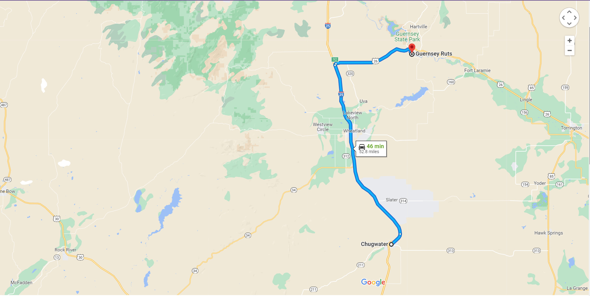
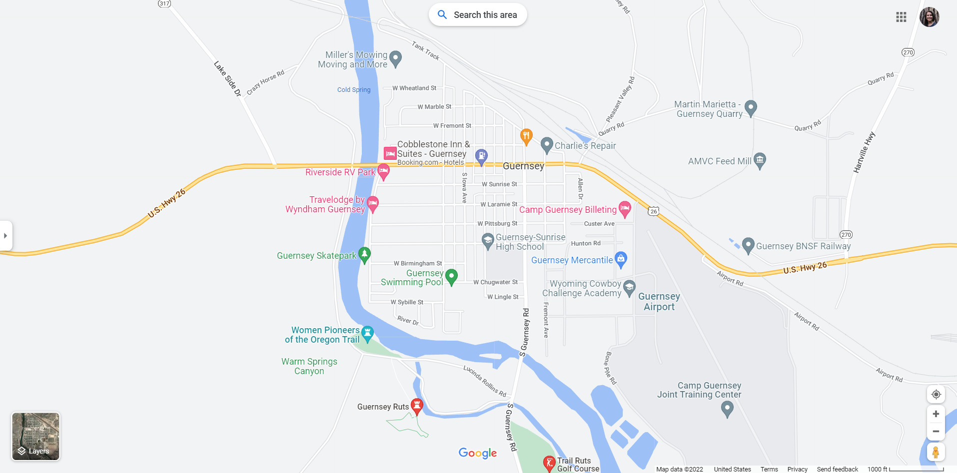
We took the next road and ended up near the National Guard, so I ran in and asked if we were on the right track. The officer in charge was super nice and helpful and gave me overly-detailed directions turn by turn. We found the ruts after a 5 minute off-roading experience (the first in my new Acura RDX!).
After a small hike uphill we got to the location of the ruts – apparently it was a popular place to hang out. We saw old women from town sitting on the benches eating their lunches, and tourists alike. There were several explanatory signs along the way – this area is basically the best preserved 1/2 mile stretch of the Oregon Trail ruts anywhere.
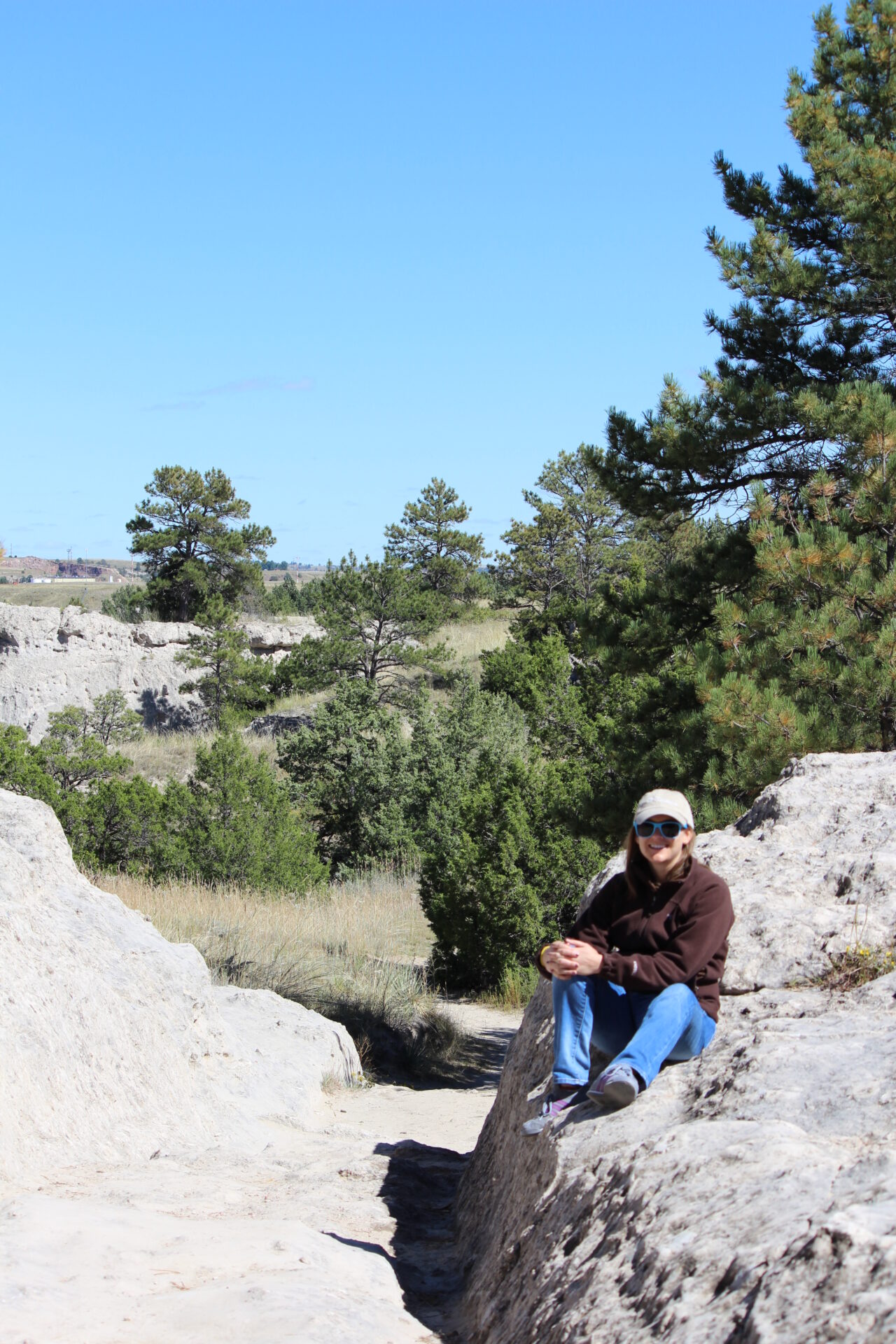
The ruts were obviously formed by repeated use of wagons over the 1841-1869 mass migration period – so much wear that in some places the ruts are 6 feet deep, worn into the soft sandstone. The first wave of pioneers were fur trappers and traders headed to Oregon from 1811-1840. Then from the 1930s 400,000 settlers, ranchers, farmers, miners, and businessmen and their families traveled, including the storied Gold Rush period and the Forty-Niners.The trail branched off in several places along the way as not all of this second wave was bound for Oregon. In fact, the Mormons used this trail to follow Brigham Young into the promised land (Utah) in 1847.
Any of you familiar with the game The Oregon Trail will remember all the peril and treachery that could happen to a traveler along the way. Losing oxen fording the river, or losing Mary to Typhus or Johnny to Cholera. Elana and I reminisced about how playing this game in grade school constituted “computer class” and we are actually quite perplexed that a [real] movie hasn’t been made about it yet (I say real because there have been a few low-budget spoofs).
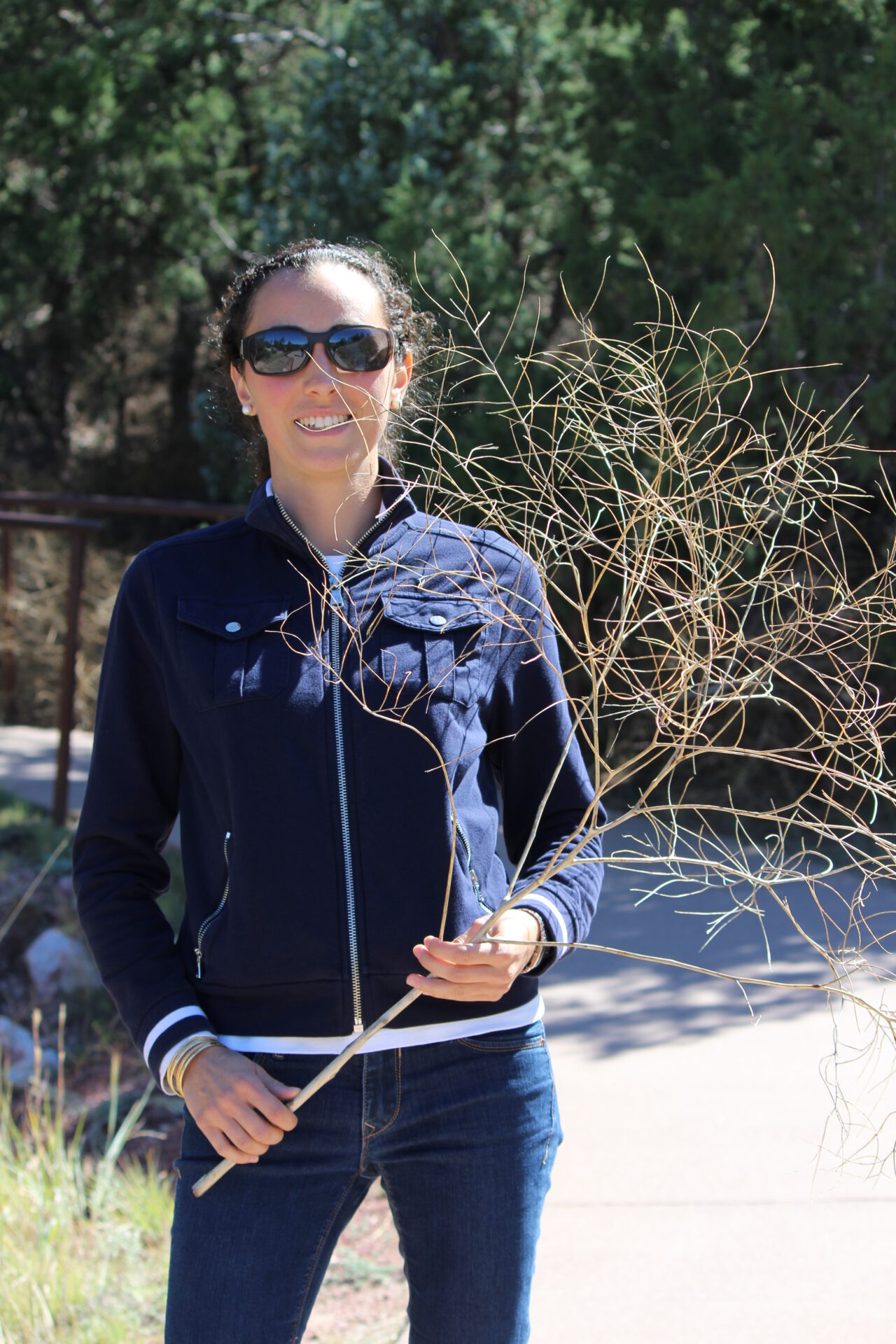
One of my favorite pictures from our Oregon Trail Ruts experience was actually a picture of Elana with a tumbleweed. Yes, there really are tumbleweed rolling across the plains over the Oregon Trail. It doesn’t get more Western than that.
Enough dawdling with tumbleweeds. Now onward to Devil’s Tower.

[…] the Oregon Trail Ruts in Guernsey, we made for the nearest back roads to reach Devil’s Tower in time for sunset. It took us […]
the picture came out great! btw, we were very pioneer-like not using GPS. Map skillzzz.